Rain arrived in Jyväskylä on Thursday April 23 though. Temperatures only just barely managed to climb above 5C, getting to 5.1C. Precipitation at Tikkakoski, which included some snow, measured 8.7mm. This is pretty much nothing compared to the rain in Sydney last week, but for Jyväskylä this is the third highest daily total so far this year.
 |
| Isolated showers moved through Central Finland during the afternoon of April 24 |
Rain also fell on April 24, 26 and in the early hours of the 27th. Sunday the 26th saw the highest total from these days with 5.4mm, helping to take the total to 24.9mm for the month with only a couple of days remaining. A band of rain, with isolated heavy falls, moved north east across the south eastern part of the country last night, but no rain was recorded at Tikkakoski.
After recording four days below 10C, yesterday recorded the second warmest temperature of the year when it got 12.9C at Jyväskylä Airport. Only April 12's 14.9C maximum is above it. It looks likely that this will remain the highest temperature for at least the coming week.
A low pressure system has been building over Poland is moving north towards Finland. The system is predicted to bring plenty of rain across the southern half of the country tomorrow and into Thursday. Wet snow could also be a part of the precipitation in Jyväskylä, which could possibly be over 20mm worth.
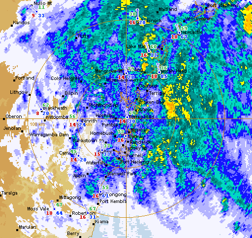
Sydney saw only a brief respite from the rain early last week. Anzac Day on Saturday was ended in dramatic fashion as a very intense storm quickly made its way across the city in the late afternoon. Lightning strikes, very heavy rain and even hail was experienced in many suburbs extending from Penrith to the Eastern Suburbs.
 |
| This amazing photo shows the edge of the dangerous storm that rolled through Sydney on April 25 Source: Daniel Tran Photography (taken from the Bureau of Meteorology's Facebook page) |
Some suburbs looked very much like a white winter wonderland as hail up to a few centimetres in diameter was reported and ground coverage was as much as 5cm deep. Both the A-League game at Parramatta Stadium and the NRL game at the Sydney Football Stadium were delayed due to the storm.
 |
| Hail on the ground at Nagle Park in Maroubra, 6km east of Sydney Airport Source: Dave Stone (Twitter post) |
After two of the coldest April days since 2009 during the three day storm last week, temperatures jumped sharply on Friday April 24 to 27.9C. Only 2013 recorded a temperature higher than this after April 24 and before late August. April 25 was initially fairly warm with a maximum of 24.6C, but storms quickly dropped the temperature down below 20C. The three days since then haven't been above 19C and this morning's minimum of 10.6C is the coldest so far this year.
The coming few days look to be very unsettled again. Showers tomorrow and possible storm activity on Thursday are likely before a low is predicted to form over the New South Wales-Queensland border. If the low does form it will generate rain along the coast on Friday and Saturday. The current forecast predicts a 90% chance of rain in Sydney for these two days.
One more observation is that yesterday saw the first time this year that there was a temperature crossover between Sydney Airport and Jyväskylä. The minimum at the Airport yesterday was 12.6C, while the temperature at Tikkakoski hit 12.9C. Since 2009 the dates for the first such occurrence have been, in order, April 24, 26, 23, 27, 21, 20, and for 2015, April 27. This was the first crossover in temperatures since October 2 last year, almost seven months ago.