The most destructive part of the storm were the strong westerly and northwesterly winds which were felt throughout most of the country. The strongest gust of the day was recorded in Rantasalmi, located in the central eastern part of the country between the towns of Varkaus and Savonlinna. The gust was measured at 29.2m/s (about 105km/h) this afternoon. The most unusual thing about this is the fact that Rantasalmi is not near the coast. While Rantasalmi is situated nearby a large lake, this goes to show that many inland locations throughout Finland, not just coastal areas, were affected by the strong winds.
In the south, gusts at Helsinki-Vantaa airport were above 25m/s also. In Jyväskylä strong winds were felt during the morning and into the early hours of the afternoon. I tried to monitor wind gusts as they were updated each 10min but there appeared to be a power outage at the station around 11am. Before that point the strongest gust I saw was 19m/s (about 68km/h). There were power outages throughout the country, with an estimated 100,000 properties without electricity at some point during the day.
I have to say I personally didn't notice the storm developing. I'm pretty sure the first forecasts predicting the storm were made only a couple of days ago, which in a way is rather late considering the force of the storm as experienced today. Warnings issued by the Finnish Meteorological Institute were in place yesterday evening though as the potential effects of the storm were realised.
As for temperatures and rainfall, precipitation fell in areas north of Jyväskylä while temperatures mostly remained above zero. In Jyväskylä there was a brief shower and flurry of snow just before midday. There were no significant falls though. In fact, the station at the airport didn't even record trace amounts. Temperatures in Jyväskylä were above 4C this morning before dropping to around 2C this afternoon.
I took a few photos this morning when the winds were at their peak. My images unfortunately don't show some of the more serious damage that took place, including fallen trees and damaged buildings, but this is a small glimpse of what Jyväskylä was like today.
 |
| A fallen branch in Mäki-Matti |
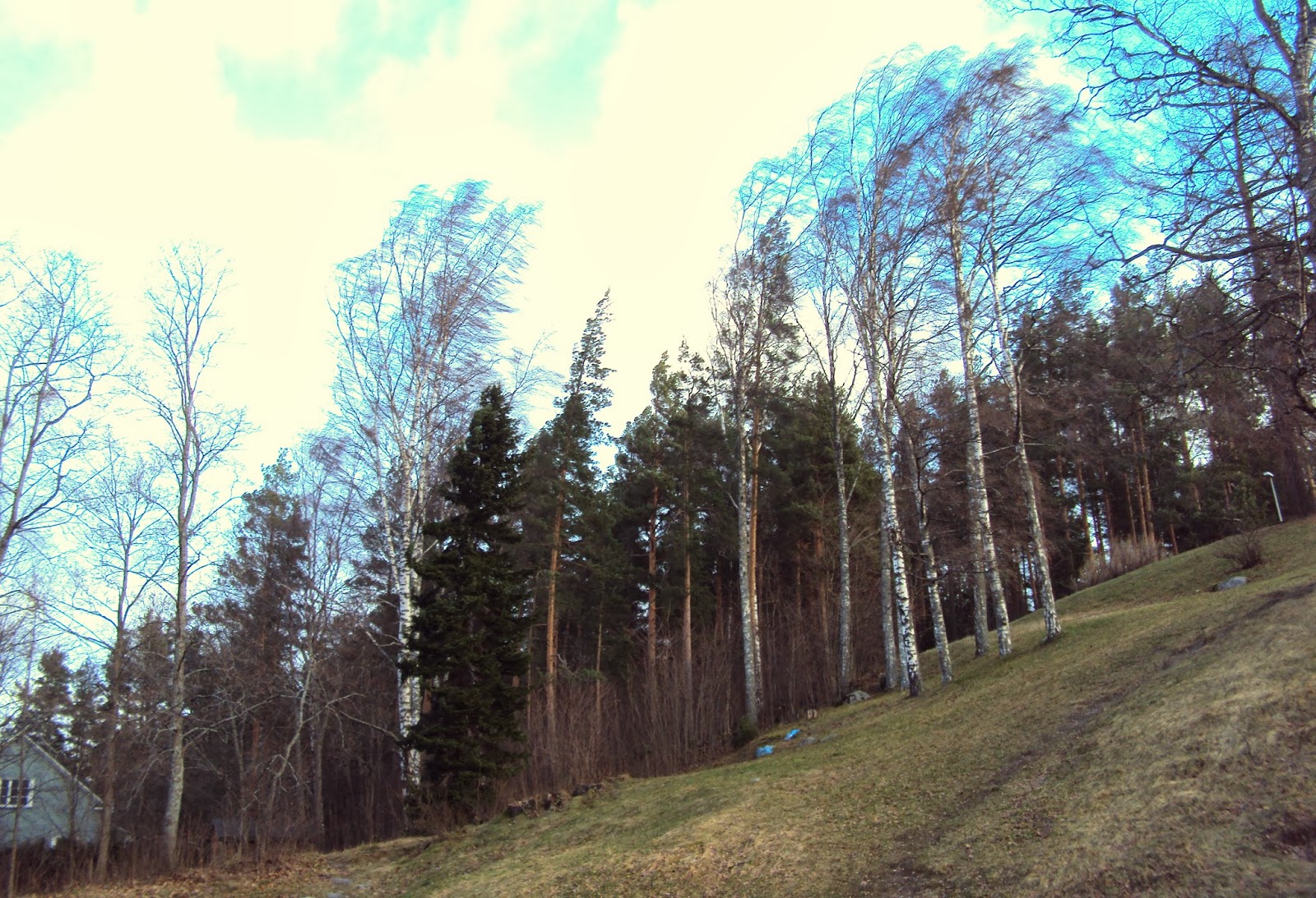 |
| Trees bending over from the force of the wind |
 |
| A piece of what appeared to be roofing which had been torn off blew around close to cars in the city centre |
No comments:
Post a Comment